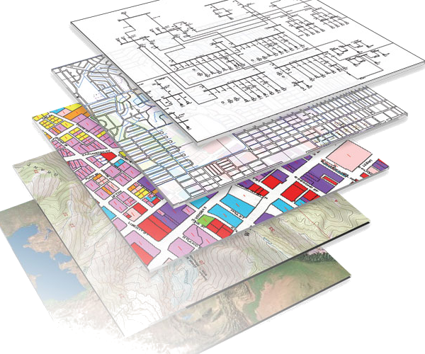
Telecom companies need GISs, Geographical Information Systems. These are programs that help you draw a map of telecommunication networks. They don’t need just one copy of these programs. They need thousands of copies and, to decide which supplier they will buy from, they run a competition.
I had three months to build a prototype to show our GIS functionalities to the client. Our prototype was the only one showing a particular functionality, one quite hard to implement.
To build this prototype I worked in Camberley, England in the offices of the company SHL Vision Solutions (later bought by MCI and later again by EDS).

